Advanced Design, Geospatial, and Visualization Technologies (Certificate)
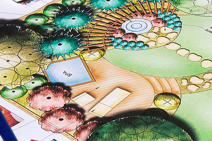
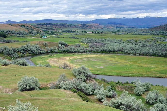
By earning this certificate, students will learn through substantial practice and real-world implementation how to use drones, virtual reality, advanced 3D and parametric modeling, and geospatial data analysis to enhance landscape designs and planning.


